
Everything You Need to Know About Drone Mapping
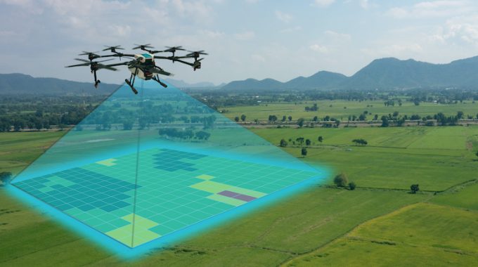
Surveying with a drove offers enormous potential to Geographic Information Systems (GIS) professionals. The drone allows topographic surveys to be carried out with the same quality as highly precise measurements gathered by traditional methods but in a fraction of the time. This significantly reduces the cost of site surveys and the workload of specialists in… (0 comment)