
Aerial surveys are best suited for large areas that are impossible to map traditionally or require multiple visits and long staff hours. They are also appropriate for sites that are difficult to access or high volumes of traffic (pedestrian or vehicular) that are likely to be adversely affected by the closure period.
Also often known as photogrammetry or aerial mapping, this method of surveying has been used for many years, and technological advances and ease of data collection have been such that it is still at the forefront of measurement methods. Once collected, the data can be processed further to generate high-resolution orthophotos, digital elevation patterns and point clouds, thus providing more delivery options for customers.
Drone mapping is particularly interesting when there are many points to measure. If only a few points need to be measured, this can often be done faster with existing equipment than with a drone.
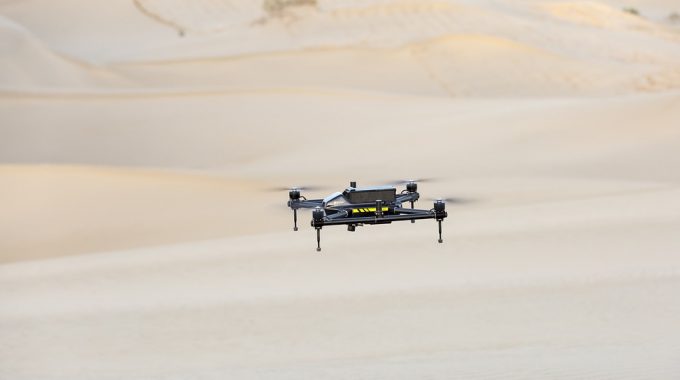
Whilst we are talking about drone analysis and drone data, the measurements are not done by drones but rather by equipment suspended below them. The drones are mainly used to move equipment more quickly and efficiently. This is why drones are an excellent complement to the existing measurement package.

Here Are Some Other Benefits of Drone Mapping:
1) The Speed of Drones
The principal added value of drones for surveyors is the speed of data collection. This can be useful when preparing a vision plan or mapping the entire project area.
2) Better and Quick Overview
Surveyors can get a relatively quick overview of complicated situations and hard-to-reach areas.
3) Various Data Formats
Survey data can be delivered in a variety of file formats to suit clients’ needs. Some examples include point cloud, simplified grid, 2D models, orthophotos, height maps, etc.
4) Cost-Effective
Besides, they allow you to carry out environmental surveys in a non-intrusive way. A survey lasting several weeks takes only a few hours. Considering the project’s overall duration, the use of drones seems to be a more efficient and cost-effective solution. Implementation costs depend on the questions to be asked and are initially slightly higher than for traditional methods.

5) Detailed and Measurable Overview of the Project and the Surrounding Area
Orthophotography provides an accurate 3D aerial image with all geometric details. From material and height to platform and visualisation.
6) Inspection at Height or in Hard to Reach Places
Thanks to the drone’s high-resolution images, all locations are within the controller’s reach. Working closely with the customer or the engineer present, the drone can accurately record the current situation. Inspections by drone are suitable for:
-Roofs
-Master
-Chimneys
7) Affordable and High-Quality Datasets
You have a tight schedule and a limited budget, and drones are a much cheaper method of measurement and mapping. By contracting a third-party drone piloting company, you save on equipment and labour costs while obtaining high-quality datasets within a short timeframe.
8) Protects Clients and Workers
Constructions and developments do not necessarily take place on safe, level land. In many cases, motorways, housing estates and industrial parks have been built on dangerous terrain without being cleared and drained. Rock formations, swamps, dense scrub, forest and the hazards they bring can render a land surveying project unsafe. Thanks to drones in land surveying, you can capture the data you require without stepping on undeveloped land.
If you need help to carry out a complex surveying project, contact the team at FLAT OUT SURVEYING for their aerial survey services. They can help with safe and effective data capturing, high accuracy surveying, building surveys, machine control and many more.